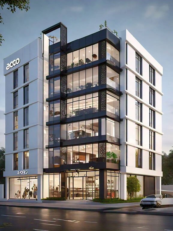
Engineering & Construction
BIM, LiDAR, and 3D scanning solutions for modern construction workflows.

Industry Overview
Engineering & Construction Solutions
We support engineering and construction projects with advanced digital solutions,
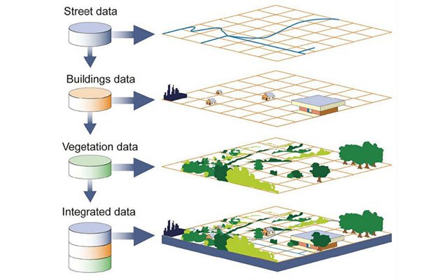
including BIM modeling, 3D laser scanning, LiDAR surveys, and GIS mapping.
Our approach ensures accurate data, efficient workflows, and better decision-making
across all project stages.
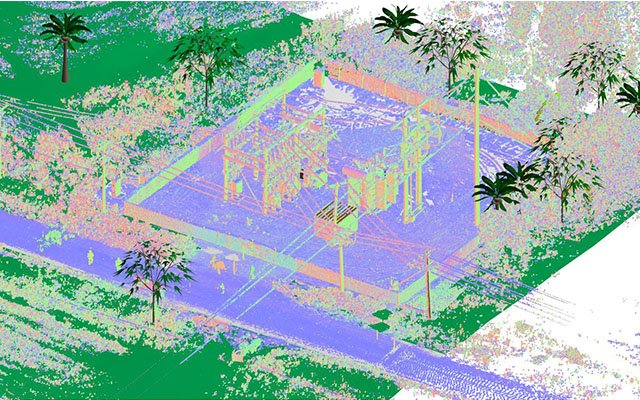
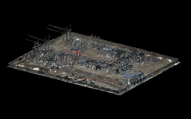
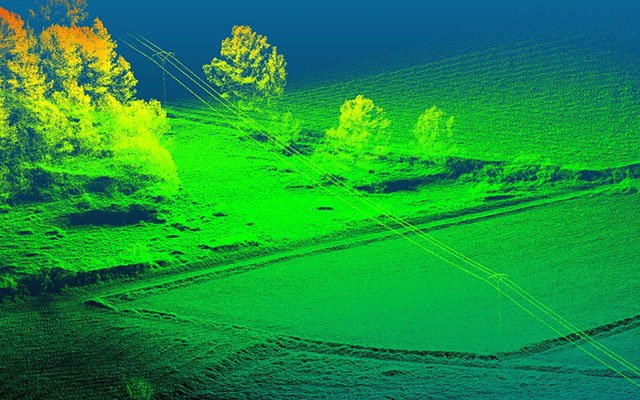
- High-precision 3D laser scanning & LiDAR surveys
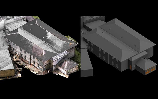
- BIM modeling and Scan-to-BIM workflows
- GIS mapping for infrastructure and utilities
100+Projects Delivered
Delivering accurate data and reliable solutions for construction, infrastructure, and real estate projects.
Our Services
Construction Solutions
Why Choose Us
Why Choose Fotios
For Engineering Solutions
We deliver high-precision BIM, GIS, and laser scanning solutions that help improve project efficiency,
reduce errors, and ensure accurate decision-making across engineering and construction projects.
High Accuracy & Precision
We use advanced LiDAR and scanning technologies to ensure millimeter-level accuracy in all deliverables.
01
Industry Expertise
Our team has deep experience across construction, infrastructure, and real estate projects.
02
Fast & Reliable Delivery
We ensure timely project completion without compromising on quality or accuracy.
03
End-to-End Solutions
From data capture to final modeling and visualization, we provide complete engineering workflows.
04
Our Process
How We Work
01
Data Capture
We collect accurate site data using advanced 3D laser scanning and LiDAR technologies to ensure precise project inputs.
02
Data Processing
Collected data is processed into structured formats including point clouds, maps, and datasets for further analysis.
03
Modeling & Analysis
We develop BIM models, GIS outputs, and visualizations to support design, planning, and engineering decisions.
04
Delivery & Support
Final deliverables are provided with quality assurance, along with ongoing support to ensure project success.
Engineering & Construction
Latest Projects

Start Your Next Engineering Project With Us
Get high-precision BIM modeling, 3D laser scanning, LiDAR surveying, and GIS solutions tailored for your construction and infrastructure projects. We ensure accuracy, speed, and reliable delivery at every stage.